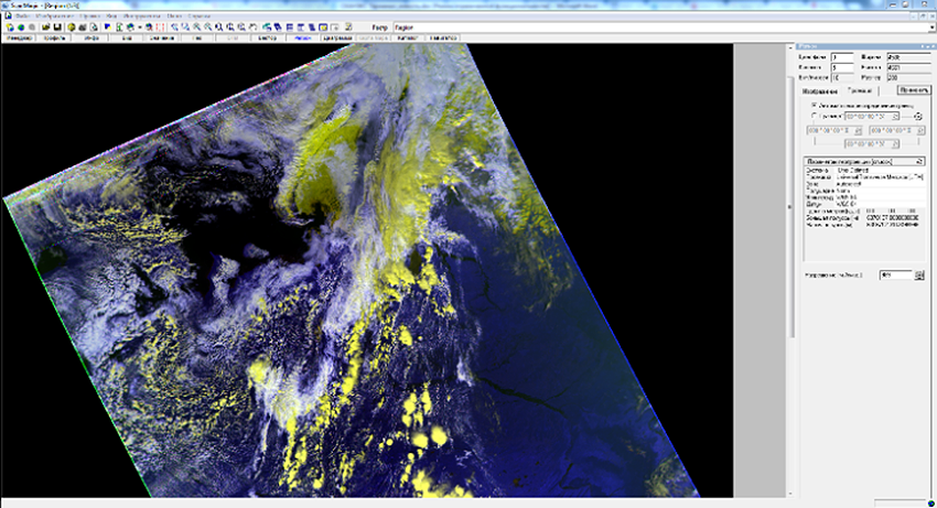
An intelligent hardware-software system for receiving real-time images from remote sensing satellites of Russian and foreign production was developed, including an algorithm for predicting the trajectories of spacecraft overflights over the control zone, calculating specialized orbital parameters, antenna system control software, channel and application level processing software image transfer protocols and tasks.
This Software was developed to eliminate image defects in radar and optical systems for surveying, geo-referencing, and geometric image correction.
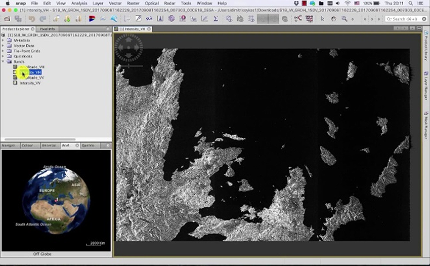
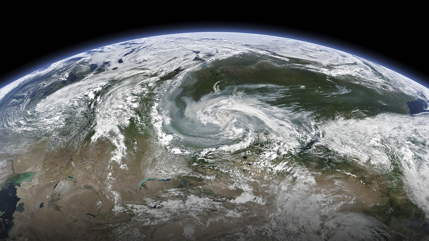
Unique images of the earth's surface of radar and optical systems, altitude maps, interferometric images, pairs in different polarizations and from the tandem grouping in the radio range are obtained.